Open any American car's glove compartment today and you'll find insurance papers, maybe some napkins from fast food joints, and a tangle of charging cables. Thirty years ago, that same space held something entirely different: a thick, spiral-bound road atlas with dog-eared pages and coffee stains mapping out every highway, back road, and scenic route across the continent.
The Sunday Night Planning Session
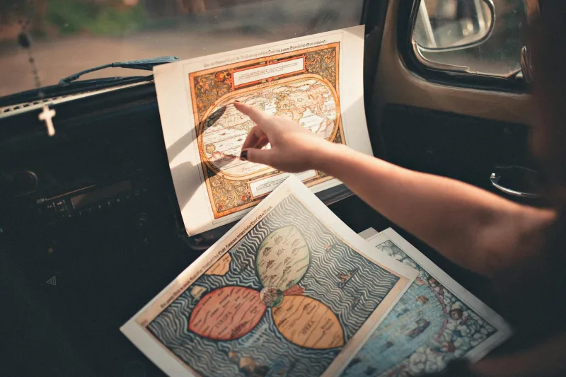
Family road trips didn't begin when you loaded the suitcases. They started days earlier at the kitchen table, with Dad spreading out the atlas like a battle plan while Mom traced possible routes with her finger. The ritual was sacred: highlight the main route in yellow, mark alternate paths in pink, and circle every rest stop, gas station, and tourist trap worth considering along the way.
Kids would lean over the table, mesmerized by the spider web of red and blue lines connecting cities they'd only heard about in geography class. Interstate 80 wasn't just a road—it was a thick black line that promised to carry you from New York to California, assuming you could keep track of where you were somewhere around mile marker 847 in Nebraska.
The preparation felt important because it was. Once you left the driveway, that atlas became your lifeline to civilization. There was no backup plan, no voice telling you to "turn right in 500 feet," no satellite watching your every move from space.
The Navigator's Burden
Being the family navigator meant accepting a responsibility that could make or break a vacation. You sat shotgun with the atlas balanced on your knees, trying to match the tiny map symbols to actual highway signs flashing past at 65 mph. Interstate junctions became moments of pure stress—was that Exit 47A or 47B? Did we want Route 9 North or Route 9 South?
The worst part wasn't getting lost. It was realizing you'd been lost for the past hour while confidently directing everyone down increasingly rural roads toward what you swore was the right direction. The atlas showed every road, but it couldn't tell you which ones had been closed for construction or which small-town main streets had been bypassed by newer highways.
When Gas Stations Sold Geography
Every gas station maintained a spinning rack of folded state maps near the register, right next to the beef jerky and air fresheners. These maps cost a couple dollars and represented pure hope—maybe this newer, more detailed version would reveal the shortcut that had eluded you on previous trips.
The folding and unfolding of these maps became its own skill set. Everyone had their preferred technique, but most maps eventually surrendered to the inevitable fate of being permanently creased in the wrong places, making crucial interstate intersections disappear right along the fold lines.
AAA members enjoyed the luxury of TripTik booklets—custom-made spiral-bound strip maps that showed only your specific route, highlighted with suggested stops and local attractions. Getting a TripTik felt like receiving classified intelligence about your upcoming journey.
The Mental Map We've Lost
Using paper maps forced Americans to develop a kind of spatial intelligence that's nearly extinct today. You had to understand cardinal directions, estimate distances, and maintain a mental picture of where you were in relation to where you'd been and where you were going.
Families developed their own navigation dialects: "Take the bypass around Albuquerque," or "Watch for the water tower after we cross the state line." These weren't just directions—they were shared reference points that connected the abstract symbols on paper to the real landscape rolling past the windows.
Parents taught kids to read maps the same way they taught them to ride bikes or tie their shoes. It was considered a basic life skill, like knowing how to make change or tell time on an analog clock.
When Everything Changed
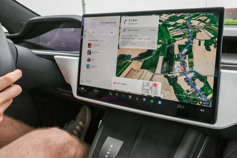
The transition happened faster than anyone expected. GPS units appeared in luxury cars in the late 1990s, but they seemed like expensive toys for people who had more money than sense. Why spend $500 on a gadget when you already owned a perfectly good atlas?
Then smartphones arrived, and suddenly everyone carried a personal navigator that knew exactly where they were, where they wanted to go, and the fastest way to get there. The device could even reroute around traffic jams in real-time and warn you about speed traps ahead.
The atlas industry didn't just decline—it collapsed. Rand McNally, the company that had guided American families for generations, watched their core business evaporate within a decade. Gas stations stopped stocking map racks. AAA discontinued TripTiks.
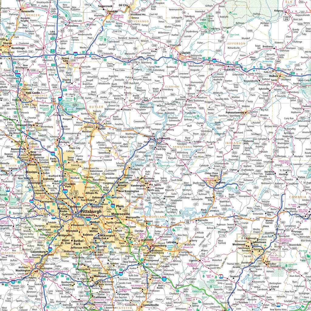 Photo: Rand McNally, via cdn.shopify.com
What We Gained and Lost
Today's navigation is undeniably better in almost every practical way. We waste less time being lost, burn less gas on wrong turns, and discover restaurants and attractions we never would have found in the atlas era. The stress of navigation has largely disappeared from family road trips.
But something else disappeared too: the satisfaction of successfully navigating across an entire state using nothing but paper and your own sense of direction. The pride of being the family member who could fold a map properly. The shared experience of everyone gathering around the atlas to plan a route together.
Modern navigation is invisible and effortless, which makes it easy to forget that finding your way across America once required real skill, careful preparation, and the willingness to accept that sometimes the journey itself was more important than arriving on schedule.
The thick atlases are gone from our glove compartments now, replaced by the quiet confidence that we'll never really be lost again. Whether that's progress or just a different kind of trade-off depends on how much you miss the days when getting somewhere was half the adventure.