Somewhere Between Here and There: The Beautiful Uncertainty of Navigating Without GPS
There's a particular kind of confidence that comes from unfolding a road atlas across the hood of a car somewhere in rural Ohio, squinting at the tiny print, and deciding — with moderate certainty — that you are probably on the right road. Not definitely. Probably.
For most of the twentieth century, that was just how Americans traveled. You planned, you prepared, you second-guessed yourself somewhere around mile 200, and you figured it out. Navigation was a skill you either developed or quietly suffered through. Either way, it was yours.
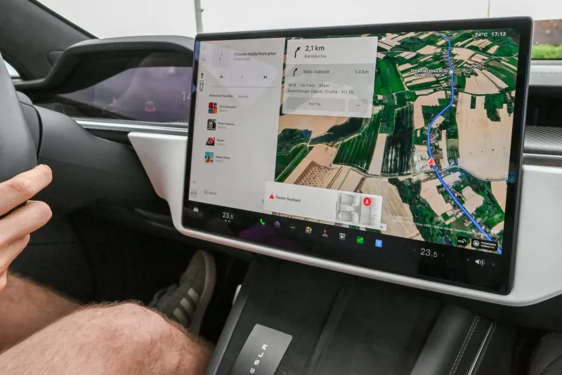
Today, roughly 90 percent of American drivers use a GPS navigation app on a regular basis. The average road trip requires almost no advance preparation beyond charging your phone. We have, in the space of about fifteen years, completely removed the uncertainty from getting from one place to another — and most of us haven't stopped to notice what we traded away.
The Ritual of the Road Atlas
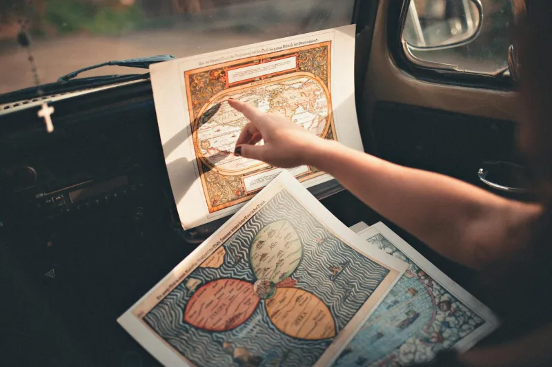
Before the interstate highway system was fully built out, before GPS satellites were even a concept, American road trippers relied on paper maps — and not just any maps. The AAA TripTik was practically a cultural institution. You'd walk into your local AAA office, describe your route, and a staff member would hand you a custom-made, spiral-bound booklet of strip maps, each page covering a segment of your journey. It was personalized navigation, assembled by a human being, printed on paper, and carried in the glove compartment like a talisman.
For everyone else, there was the Rand McNally Road Atlas — a thick, spiral-bound book of every state in the union, sold at gas stations and truck stops across the country. Families kept them in the car for years. Pages got dog-eared. Highways got highlighted. Someone always argued about which route was faster.
Planning a long trip meant spreading the atlas out on the kitchen table the night before and tracing the route with your finger, memorizing the major turns, writing down the highway numbers on a notepad. You weren't just looking at the journey — you were learning it. By the time you hit the road, the route existed in your head in a way that no turn-by-turn instruction ever quite replicates.
The Gas Station Oracle
Of course, things went wrong. You missed an exit. A road was closed. The atlas was from 1987 and the interchange had been rebuilt since then. When that happened, you stopped — usually at a gas station — and asked for directions.
This was its own small cultural ritual. The person behind the counter might give you flawless, precise directions that got you exactly where you needed to go. Or they might gesture vaguely toward the highway and say something like, "Take 40 west, then just kind of... you'll see a water tower, turn there." You thanked them, got back in the car, and interpreted those directions as best you could.
Sometimes it worked perfectly. Sometimes you ended up on a two-lane road in the middle of nowhere, watching the sun start to dip, recalculating with nothing but instinct and a paper map that didn't show roads this small. And somehow, most of the time, you got there.
What Being Lost Actually Felt Like
Here's the thing that's hard to explain to anyone who grew up with a smartphone: being lost wasn't always a crisis. Sometimes it was an adventure. You took a wrong turn and ended up driving through a small town you'd never have seen otherwise. You stopped at a diner that wasn't in any guide. You found a shortcut that became a family story told for years.
There was anxiety in it, sure — especially after dark, especially with kids in the back seat asking if you were almost there. But there was also something alive about it. The journey had texture. It had stakes. You were genuinely figuring something out, in real time, with the information available to you.
That experience — of being spatially uncertain and having to solve it yourself — has become almost completely foreign. Studies on spatial cognition suggest that regular GPS use actually weakens our natural sense of direction over time. We're outsourcing navigation so thoroughly that many people under 30 report feeling genuinely helpless without their phones in an unfamiliar area. The skill is atrophying, quietly, because we no longer need it.
The Turn-by-Turn Bargain
None of this is an argument against GPS. Turn-by-turn navigation has saved countless hours, prevented countless arguments, and almost certainly prevented accidents caused by drivers trying to read a map while merging onto a highway. The technology is genuinely useful in ways that are hard to overstate.
But every gain involves a trade. When we handed navigation over to the algorithm, we got reliability and convenience. What we gave up was the experience of knowing where we were — not just following instructions, but understanding the geography, holding the route in our minds, making decisions.
There's a reason road trips used to feel like genuine departures from ordinary life. Part of it was the freedom of the open road. But part of it was the simple fact that you were operating in a world that didn't guarantee you'd find your way. You might get lost. You might have to ask a stranger. You might end up somewhere unexpected.
The map you couldn't fold back was frustrating, unreliable, and occasionally maddening. It was also evidence that you were navigating your own life — not just following instructions from a device that always, always knows exactly where you are.
Sometimes the wrong turn was the best part of the trip. We just didn't know it until we got there.