Before the Highway, America Was a Very Long Way Across
Before the Highway, America Was a Very Long Way Across
Imagine packing your car for a drive from New York to Los Angeles. You check Google Maps, see it's roughly 28 hours of driving, and start thinking about splitting it over four or five days. Maybe you'll stop in Nashville. Maybe St. Louis. You book a couple of Marriotts, throw a playlist together, and you're basically set.
Now rewind to 1960. Same trip. Completely different world.
The Road That Wasn't Really a Road
In the late 1950s and early 1960s, the Interstate Highway System was still very much a construction project. President Eisenhower had signed the Federal Aid Highway Act in 1956 — partly inspired by Germany's Autobahn, which he'd seen during World War II — but the actual paving of America took decades. In 1960, huge stretches of the country between the coasts were still connected by a loose web of two-lane state and US routes.
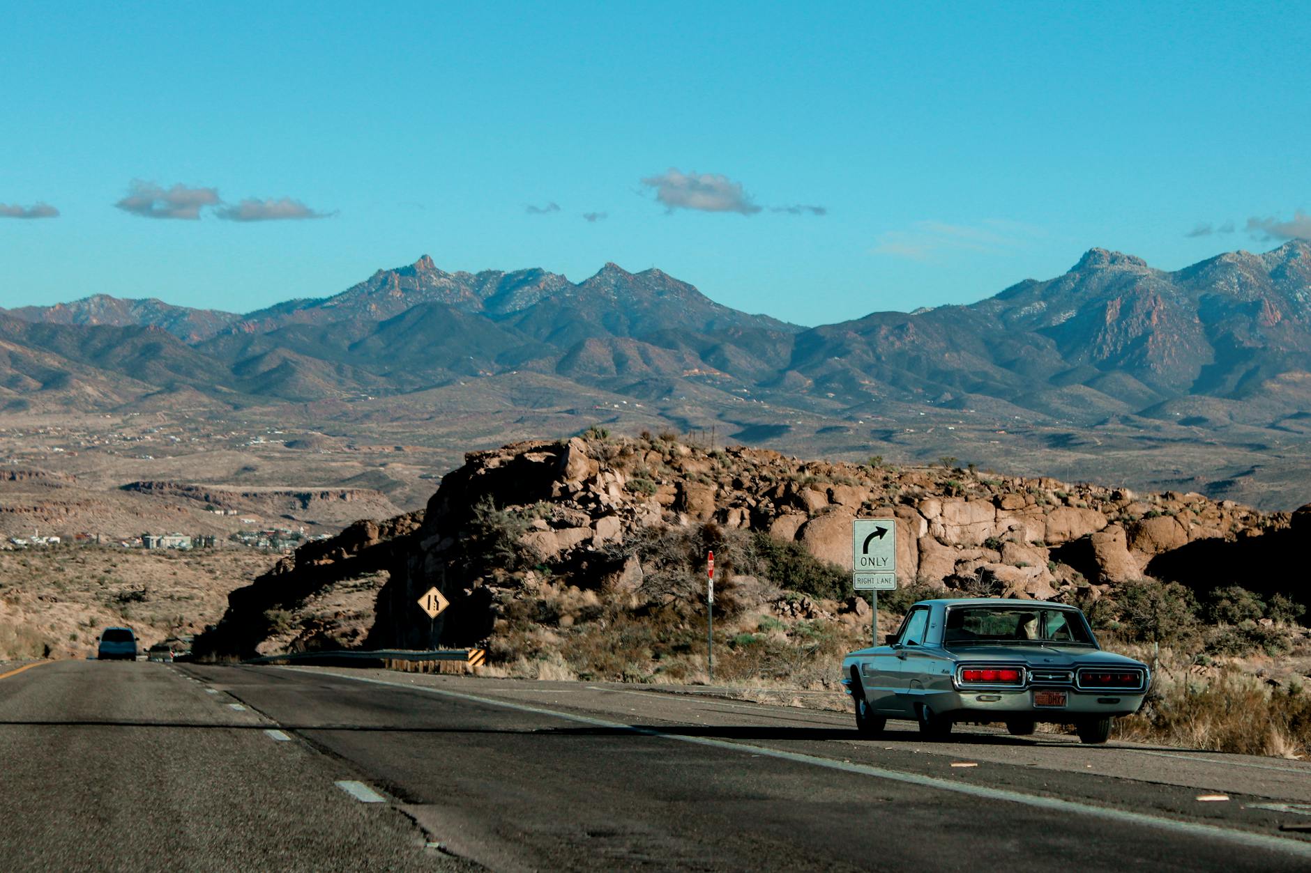
Route 66 was the most famous of these, stretching from Chicago to Santa Monica. It sounds romantic now, and there's a whole nostalgia industry built around it. But in reality, driving it coast to coast meant threading through the main streets of dozens of small towns, each with their own 25 mph speed limits, their own traffic lights, and occasionally their own local law enforcement with a fondness for ticketing out-of-state plates.
The journey from New York to Los Angeles on pre-Interstate roads typically took between 10 and 14 days — and that was if things went reasonably well.
What Could Go Wrong (And Usually Did)
The cars of that era weren't built for endurance the way modern vehicles are. A 1958 Chevrolet Biscayne or a Ford Fairlane was a beautiful machine, but it required regular attention. Oil needed checking every few hundred miles. Tires blew more frequently on rough road surfaces. Cooling systems were temperamental in desert heat. Breakdowns weren't an inconvenience — they were a genuine risk, especially across the empty stretches of New Mexico, Arizona, and the Mojave.
Gas stations existed along the main routes, but reliability varied wildly. Some were full-service operations with mechanics on hand. Others were little more than a pump and a guy who might or might not know what he was looking at under your hood. In remote areas, running low on fuel wasn't just annoying — it could mean waiting hours for help.
Navigation added another layer of difficulty. Paper maps were the standard, and they were genuinely useful — but they didn't tell you that a particular stretch of road was under repair, or that the bridge marked on your AAA TripTik had been washed out the previous spring. Travelers relied heavily on word of mouth, roadside diners, and the general goodwill of strangers who'd driven the same route recently.
The Pace of It All
Here's the thing that's hardest to grasp from a modern perspective: the slowness wasn't just logistical. It was cultural. A 1960 road trip was expected to take a long time. You planned for it. You saved for it. You told your employer you'd be gone for two weeks. The journey itself was the point — not a necessary inconvenience between departure and destination.
Families would stop for the night in motor courts (what we'd now call motels), eat at roadside diners, and cover maybe 250 to 300 miles on a good day. Pushing further than that meant exhausted driving on roads that weren't forgiving of lapses in attention.
Children in the back seat had no screens, no headphones, no apps. They played license plate games, read comics, argued with their siblings, and stared out the window at a country that was genuinely vast and varied in a way that's harder to feel when you're doing 80 on an eight-lane interstate.
The Interstate Changed Everything
By the mid-1970s, the backbone of the Interstate system was largely in place. I-80, I-40, I-10 — these routes didn't just shorten travel times, they fundamentally changed the nature of long-distance driving in America. Controlled access meant no traffic lights, no small-town speed limits, no navigating through the main drag of a county seat. Highway speeds were standardized. Rest stops appeared at regular intervals. The country got smaller.
Today, a careful driver in a modern car — with adaptive cruise control, lane assist, real-time GPS, and a network of reliable fuel stops — can cover the New York to LA route in roughly three and a half days of comfortable driving. Some people do it in less. The car won't overheat. The navigation won't fail. If something does go wrong, roadside assistance is a phone call away.
Something Was Lost, Too
It would be easy to write off the old way as pure hardship — and for the people living it, a lot of it genuinely was. But there's something worth pausing on in the drift from that era to this one.
When crossing the country took two weeks, America felt like a place of genuine scale. The distance between New York and California wasn't just miles — it was time, and effort, and a real sense of having traveled somewhere. The road demanded your attention and gave you something back for it.
Now we can drive it in a long weekend and barely think about it. That's an extraordinary achievement. But the country hasn't gotten any smaller. We've just stopped noticing how big it is.